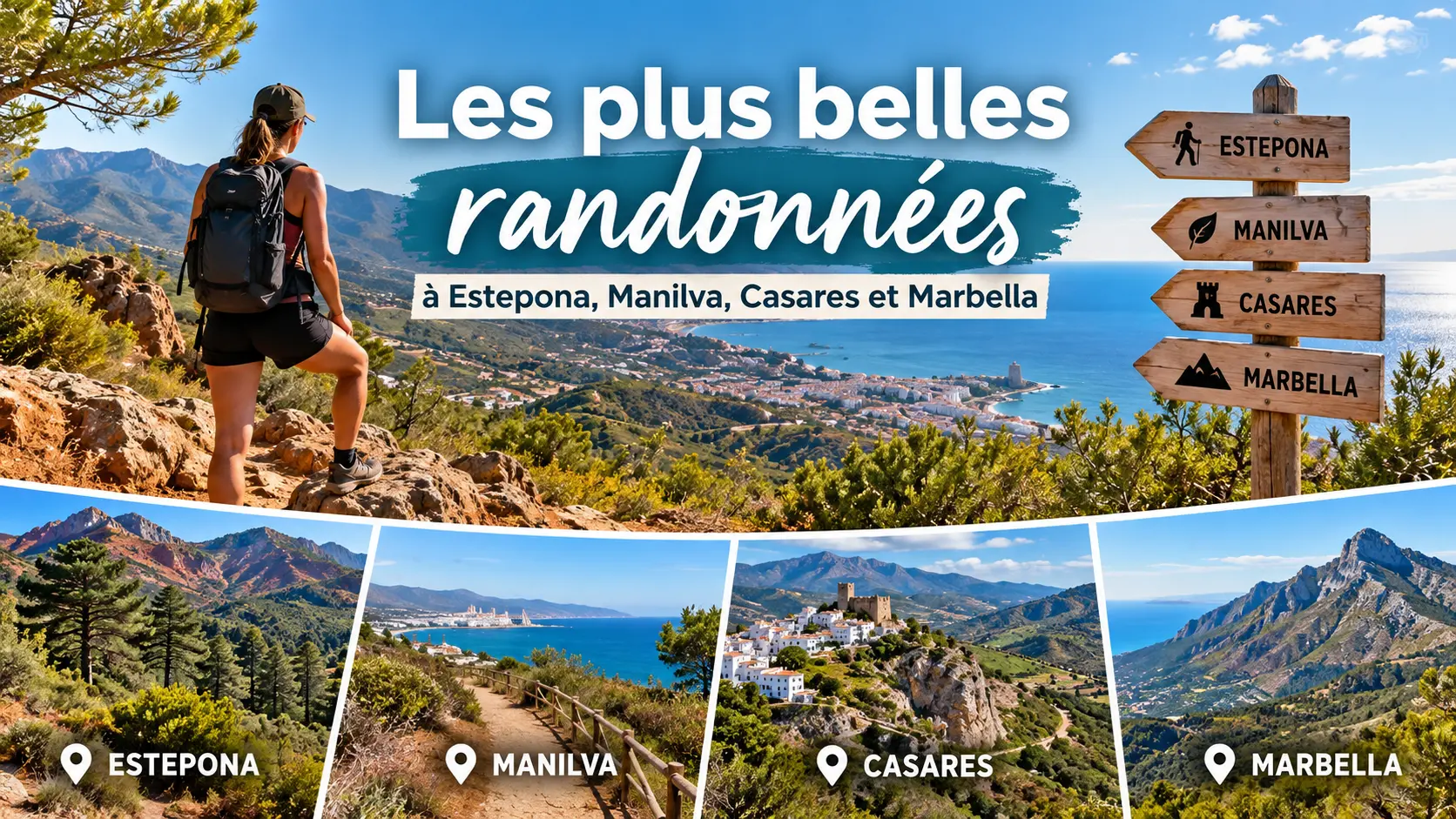
The most beautiful hikes in Estepona, Manilva, Casares and Marbella
Would you like to discover another side of the Costa del Sol? Beyond its beaches and marinas, the region offers magnificent trails between sea and mountains. Pine forests, red-rock mountains, white villages, rivers and Mediterranean views create varied landscapes—perfect for hiking enthusiasts.
Whether you are an occasional walker or an experienced hiker, you will find routes to suit you around Estepona, Manilva, Casares and Marbella. Here is our selection of the region’s most beautiful hikes, with practical information and links to official resources to help you plan your outing.
1. The best hikes in Estepona
Backed by the Sierra Bermeja, Estepona enjoys an exceptional natural setting. Just a few minutes from the coast, you can reach pine forests, mountain trails and spectacular viewpoints over the Mediterranean.
Paseo de los Pinsapos: a walk in the heart of the forest
The Paseo de los Pinsapos is one of the most interesting routes in Sierra Bermeja. It lets you discover the pinsapos—remarkable Mediterranean firs—in a rare natural environment. The mountain’s reddish rock contrasts with the deep green of the vegetation.
The short version is ideal for enjoying nature without taking on a demanding hike. More athletic walkers can choose a longer loop towards Cerro del Castellón and the summit of Los Reales.
- Distance: around 1.5 km return for the short walk, or 6.5 km for the circular route.
- Estimated duration: 30 to 45 minutes for the short version, longer for the loop.
- Difficulty: easy for the short walk; more demanding for the loop.
- Highlight: a unique forest and an immersion in the nature of Sierra Bermeja.
See the detailed sheet for the Paseo de los Pinsapos to plan your route.
Fuente del Porrejón: an accessible hike
The SL-A 169 trail leads to Fuente del Porrejón, among the pines of Sierra Bermeja. The route mainly follows a relatively easy forest track, before reaching the spring via a short section over more uneven ground.
It is a good option for discovering inland areas without committing to a high-mountain route. The hike is an out-and-back and suits walkers looking for a quiet outing in a forest setting.
- Distance: 4.9 km return.
- Estimated duration: around 1 hr 15.
- Difficulty: easy.
- Starting point: kilometre 12.8 on the MA-8301 road towards Puerto de Peñas Blancas.
Find the route track and information for the Fuente del Porrejón trail.
The summit of Los Reales: for mountain lovers
For a more athletic outing, the SL-A 168 trail climbs to the summit of Los Reales, at 1,452 m above sea level. This hike lets you discover the high-mountain landscapes of Sierra Bermeja and, when conditions are favourable, enjoy wide panoramas over the coast and the hinterland.
The route is more demanding than a simple forest walk. Plan for good footwear, water and enough time. The weather can also be very different from what you experience on the coast.
Before you set off, consult the official list of hiking trails from Estepona Natural.
2. The most beautiful hiking trails in Manilva
Manilva is known for its beaches, Puerto de la Duquesa and its vineyards. But the municipality also has several waymarked trails that let you discover a more rural environment, between hills, pinewoods and country paths.
Sendero de las Fuentes y de las Viñas
This trail, offered in a short and a long version by the municipality, is a good way to discover the landscapes of Manilva’s hinterland. It suits those who want to get away from the seaside atmosphere and enjoy a walk in a more natural setting.
The municipality provides both variants. Choosing between the short and long routes allows you to adapt the outing to the time available and the walkers’ level.
- Route type: short or long variant.
- Difficulty: to be confirmed depending on the variant and the route chosen.
- Highlight: discovering Manilva’s rural and wine-growing landscapes.
Check the maps and tracks on the official page for Manilva hiking routes before setting off.
Sendero Pinar de Tábanos
Sendero Pinar de Tábanos is another option to consider for discovering Manilva’s natural heritage. The route name already hints at its appeal: a walk through a pinewood area, ideal for those who enjoy paths among trees and Mediterranean landscapes.
For a walk, it is best to download the track provided by the town hall and check the distance and elevation gain before you go. This information is particularly useful if you are hiking with family or if you want to avoid routes that are too long.
The track is available from the official section dedicated to Manilva trails.
Sendero Castillejos de Alcorrín
The Castillejos de Alcorrín area offers another way to explore Manilva’s hinterland. The municipality provides a dedicated route as well as a circular variant.
Choosing the circular version can be useful for planning an outing without retracing your steps exactly. However, check the direction of travel, length and path conditions on the official track before you commit to it.
To plan this hike, consult the routes published by the Ayuntamiento de Manilva.
3. Must-do hikes in Casares
Casares has some of the most remarkable landscapes in the western Costa del Sol. Between its perched white village, the Sierra Crestellina and the rock formations of the Sierra de la Utrera, there are many hiking options.
Sierra Crestellina and its refuge
The hike to the Sierra Crestellina refuge is recommended for walkers who want to discover the mountains around Casares. The route offers beautiful viewpoints over the surrounding reliefs and Monte del Duque.
The path crosses Mediterranean vegetation landscapes where oaks, pines and other local species alternate. The sierra is also home to a significant colony of griffon vultures, which attentive walkers can sometimes spot in the sky.
- Indicative distance: 8 km.
- Estimated duration: around 3 hours.
- Difficulty: moderate up to the refuge, higher on the descent.
- Highlight: mountain landscapes and birdwatching.
The descent can be steep. It is therefore important to wear suitable footwear and choose a route that matches your level.
Find the town hall information in the Casares hiking and trails section.
Baños de la Hedionda: a hike between river and history
Baños de la Hedionda is among the region’s most distinctive sites. These historic sulphur baths are set in a natural environment shaped by rivers, old tracks and the rock formations of the Sierra de la Utrera.
The route described by the municipality allows you to reach the baths from Casares, crossing Mediterranean landscapes and passing several old mills. It is an interesting hike to combine nature, heritage and discovery of the area.
- Distance: around 6.5 km.
- Estimated duration: around 2 hours.
- Difficulty: medium to low depending on conditions and the variant.
- Highlight: river landscapes, old mills and the historic baths.
Some sections become more difficult if you continue in the riverbed. After heavy rain or when the stones are wet, caution is essential.
See the official route sheet for Baños de la Hedionda and the historical information about the baths.
Canuto de la Utrera: a more technical hike
Canuto de la Utrera lets you discover a spectacular rocky landscape. This natural passage, carved into the limestone formations of the Sierra de la Utrera, is of particular geological and scenic interest.
Although the route is relatively short, its difficulty should not be underestimated. The trail narrows and includes uneven ground as well as trickier sections in the riverbed. It is best suited to walkers who are comfortable on rough terrain.
- Distance: around 2.4 km.
- Estimated duration: around 1 hour.
- Difficulty: medium to high.
- Highlight: karst formations and wild landscapes.
Respect the private properties crossed by the route. Also avoid this route in wet weather or when water levels make the crossing uncertain.
Detailed information is available on the Casares town hall website.
4. The most beautiful hikes in Marbella
Marbella is not limited to its beaches and old town. The Sierra Blanca massif dominates the coast and offers several renowned mountain routes, some with exceptional views over the Mediterranean.
Cruz de Juanar: an exceptional panorama
The Marbella–Cruz de Juanar trail, referenced PR-A 169, is a mountain route that crosses different landscapes of Sierra Blanca. The ascent includes rocky paths and increasingly steep slopes.
The final part of the climb is particularly demanding. Once at the top, the views reward the effort: on a clear day, the panorama stretches across the surrounding reliefs and the coast.
- Difficulty: demanding.
- Profile: mountain hike with a steep final ascent.
- Highlight: the panorama from Cruz de Juanar.
Before you set off, consult the official sheet for the Marbella–Cruz de Juanar trail for access and route guidance.
La Concha: a legendary hike for sporty walkers
La Concha is one of Marbella’s emblematic peaks. Its distinctive profile dominates the town and attracts hikers looking for a sporty outing and spectacular views over the coastline.
The Juanar–La Concha route, known under reference PR-A 168, includes demanding climbs, rocky sections and exposed ridge stretches. Some sections require constant attention. This hike is therefore reserved for experienced walkers, well equipped and comfortable in the mountains.
It is essential to check the weather, wind and visibility before setting off. If conditions are unfavourable, it is best to choose an easier route in the area.
Find the description of the Juanar–La Concha trail on Marbella’s official tourism website.
Senda Litoral: a walk along the Mediterranean
For a more relaxed outing, Marbella’s coastal walks are an excellent alternative to the mountains. You can walk facing the sea, enjoy the beaches and take a break in one of the many seafront restaurants or cafés.
This option is particularly suitable for families, for those who want to walk without tackling steep elevation changes, and for visitors who prefer a walk of a few kilometres to a hike at altitude.
The distance depends on the section chosen. It is therefore best to define the start point and return point in advance, especially if you want to do a simple loop or an out-and-back walk.
To plan your outing, consult the official portal for Marbella hiking routes, which offers several other trails in Sierra Blanca.
5. Which hike should you choose for your level?
To help you choose, here is a summary of the routes presented in this article. The durations are indicative and may vary depending on your pace, breaks and ground conditions.
| Hike | Indicative distance | Recommended level |
|---|---|---|
| Paseo de los Pinsapos, Estepona | 1.5 km or 6.5 km | Easy to moderate depending on the variant |
| Fuente del Porrejón, Estepona | 4.9 km return | Easy |
| Sendero de las Fuentes y de las Viñas, Manilva | Short or long variant | To be checked depending on the route |
| Sendero Pinar de Tábanos, Manilva | See the official track | To be checked depending on the route |
| Sierra Crestellina Refuge, Casares | Around 8 km | Moderate, with a difficult descent |
| Baños de la Hedionda, Casares | Around 6.5 km | Medium to low depending on conditions |
| Canuto de la Utrera, Casares | Around 2.4 km | Medium to difficult |
| Cruz de Juanar, Marbella | See the official description | Demanding |
| La Concha, Marbella | See the official description | Difficult, for experienced hikers |
6. Our tips for hiking on the Costa del Sol
The Mediterranean climate allows you to walk for much of the year, but summer heat and mountain conditions require a few precautions.
- Prioritise early starts. In summer, avoid the hottest hours, especially on routes with little shade.
- Bring enough water. Springs and resupply points are not always available or working.
- Choose suitable footwear. The rocky paths of Sierra Bermeja, Sierra Crestellina and Sierra Blanca require good grip.
- Check the weather and the route. In particular, check the wind, storm risk, trail conditions and any access restrictions.
- Respect nature. Stay on authorised paths, take your rubbish with you and do not disturb wildlife.
- Adapt your route to your level. A short hike can be technical, while a longer route may follow an easy track.
For mountain outings, avoid setting off alone on a demanding route and inform someone of your plan. In Spain, the emergency number is 112.
Discover the Costa del Sol differently with Rendez-Vous Immo
Living on the Costa del Sol means enjoying a pleasant climate, the Mediterranean and a very varied natural environment. Between the trails of Sierra Bermeja, the landscapes of Casares, the hills of Manilva and the mountains of Marbella, there are many options for outings.
If you are considering moving to the region, proximity to natural areas can also be part of your property search criteria.
Discover our selection of apartments for sale in Estepona, explore apartments for sale in Manilva or view our villas for sale in Casares.
To discover all our services and properties, visit Rendez-Vous Immo, your French-speaking real estate agency on the Costa del Sol.